
GeoSIMS – GeoSmart Instrumentation and Monitoring System
GeoSIMS is a web-based instrumentation and monitoring system under user testing. It brings monitoring data, processing, reports, and files into one workspace, with a dashboard for project and zone activity, instrument coverage, field status, and alert breaches.
The official GeoSIMS trial request form does not require an account. Do not include passwords, monitoring data, or confidential files.
GeoSIMS at a glance
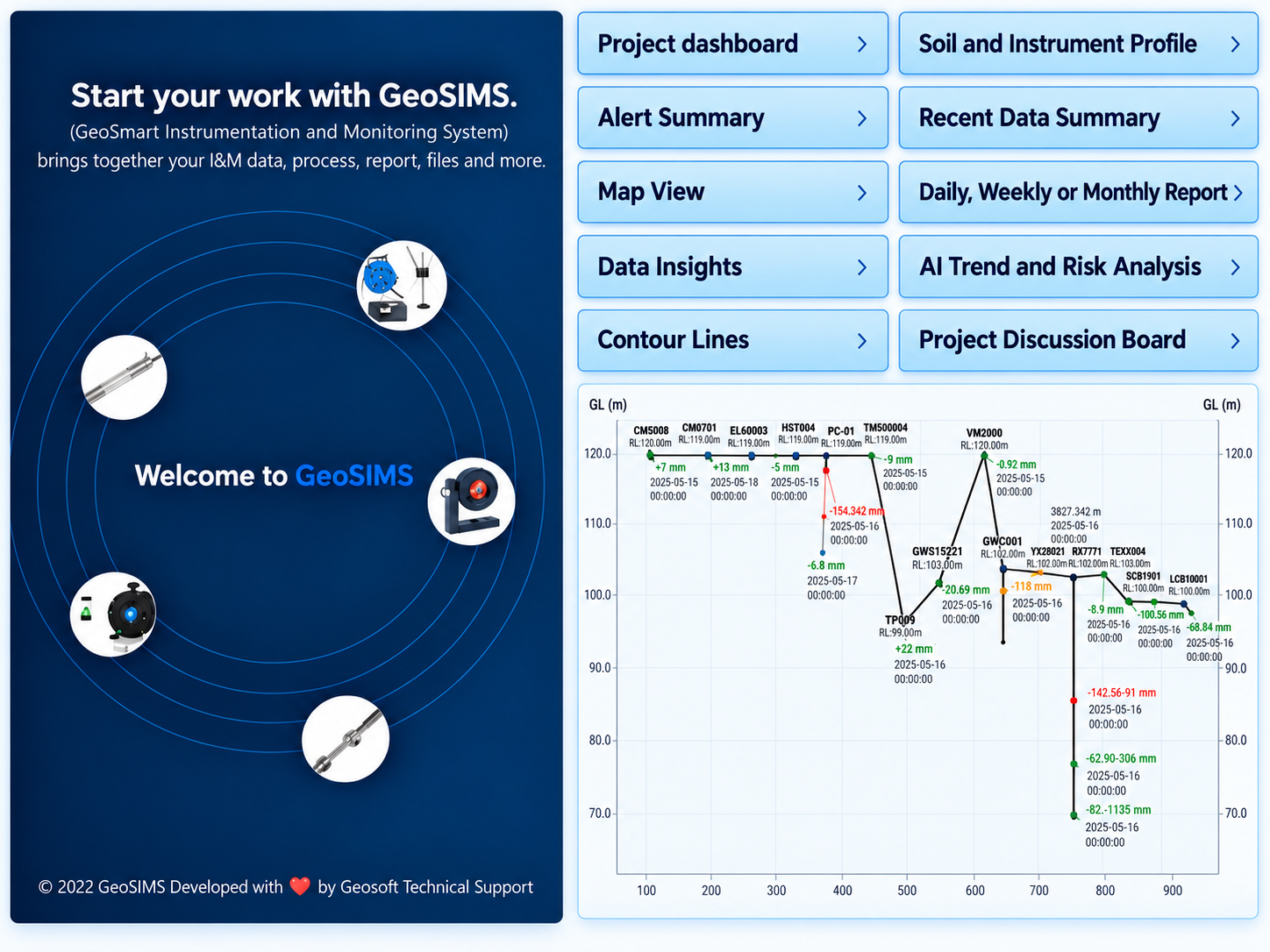
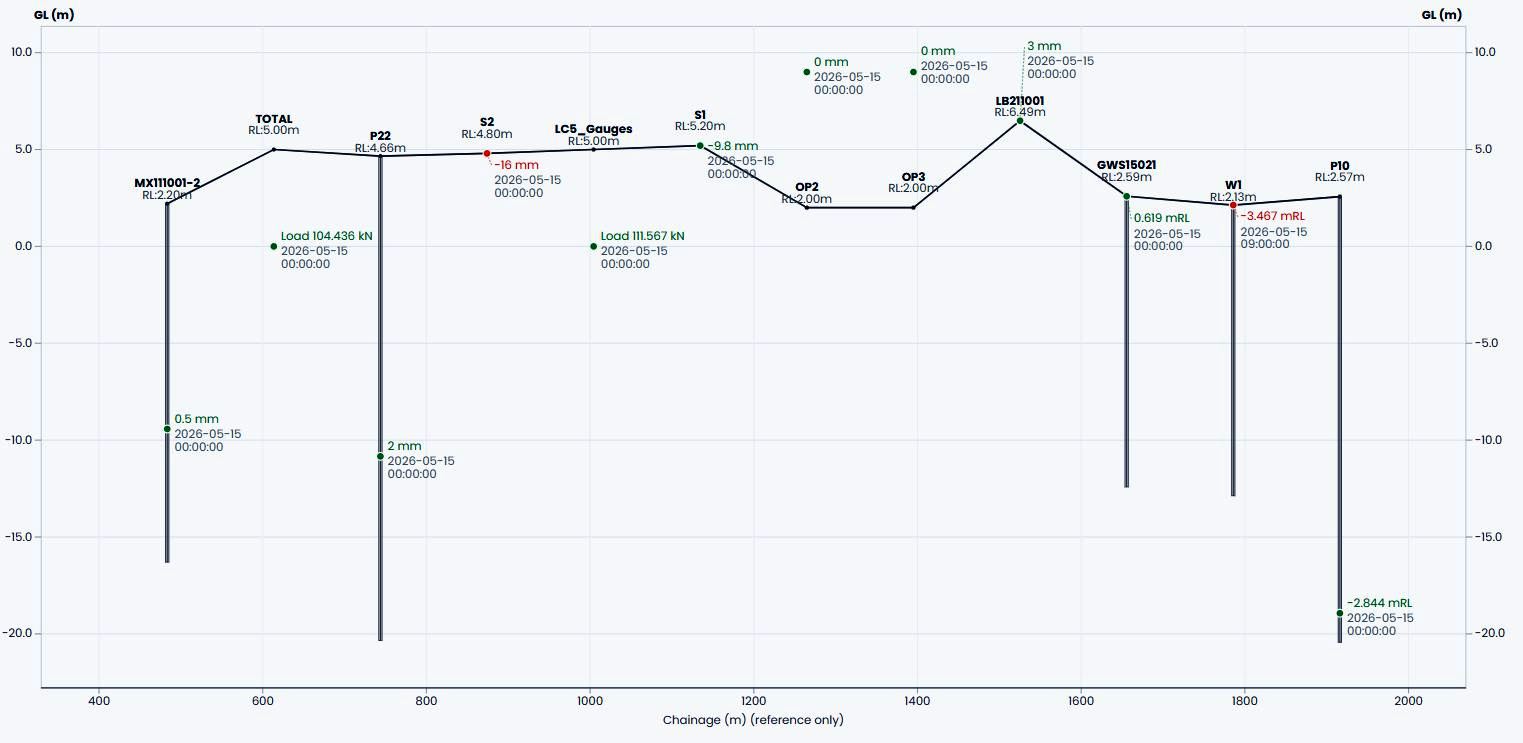
Illustrative GeoSIMS overview supplied September 2026; instrument profile updated October 2026. GeoSIMS is under user testing; Project Discussions and AI advisors are Beta, and AI outputs require engineering review.
- Project dashboard
- Map View
- Data Insights
- Alert Summary
- Monitoring reports
- Project DiscussionsBeta
- Trend & Risk AdvisorsBeta
See the workflows in action
Watch recorded desktop and mobile demonstrations. These recordings illustrate a system under user testing; screens and features may change.
Desktop demonstration
A longer walkthrough of project and monitoring workflows.
Open video in a new tabGeoSIMS feature groups
Explore the workflows and feature areas for this product.
- Compare selected monitoring zones with project totals for uploads, installation progress, field status, and alert severity
- View boreholes and monitoring instruments on an interactive map
- Inspect instrument readings, manual and realtime uploads, and trends in Data Insights
- Review alerts in Alert Summary and generate standardised monitoring reports
- Carry project, instrument, alert, map, or report-request context into team discussions for review
- Discussion records do not acknowledge alerts or change monitoring data
- Trend Advisor and Risk Advisor open with selected investigation context from the dashboard, Alert Summary, Map View, or Data Insights
- GeoSIMS assembles selected readings, alerts, thresholds, and relevant project records from stored data into evidence for review, without manual copy and paste
- Review the evidence before generation; AI commentary requires engineering review and is not a verified engineering decision
- With the local AI provider configured, selected evidence can be processed locally rather than sent to an external AI provider
- GeoSIMS AI is in Beta testing in an existing VM-based local AI test environment; a more capable dedicated server is proposed to support further testing and validation
Discuss your current workflow with our specialists and ask how this product could support it.